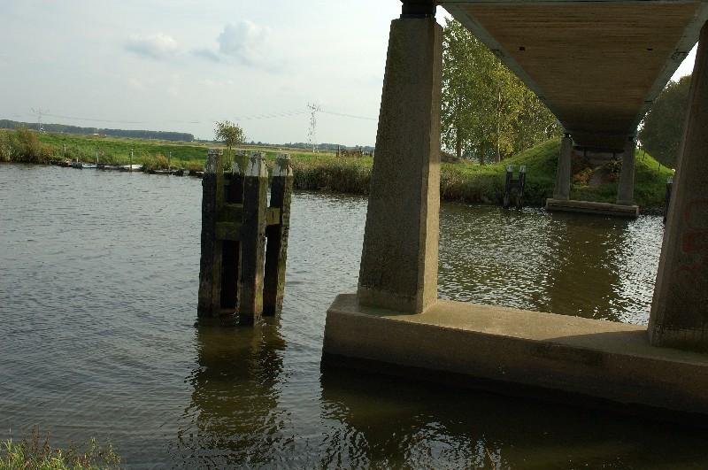
Holland - land of water

- Details
- Category: Images - fotos - Holland - Netherlands
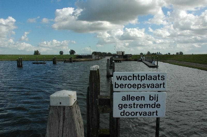
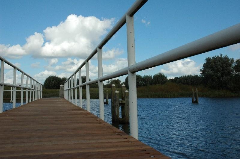
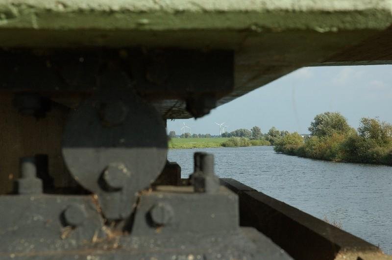
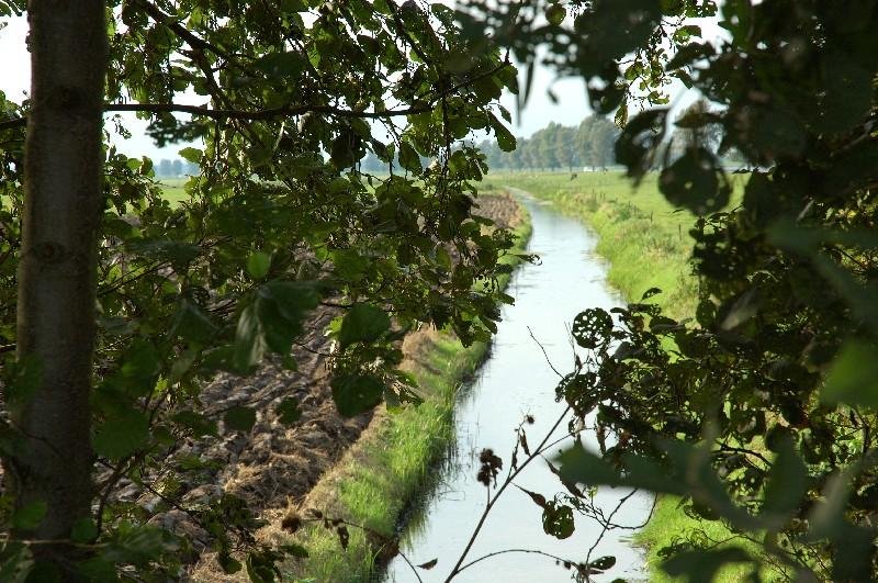
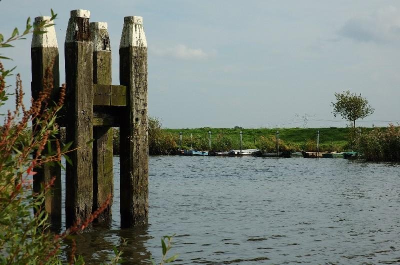
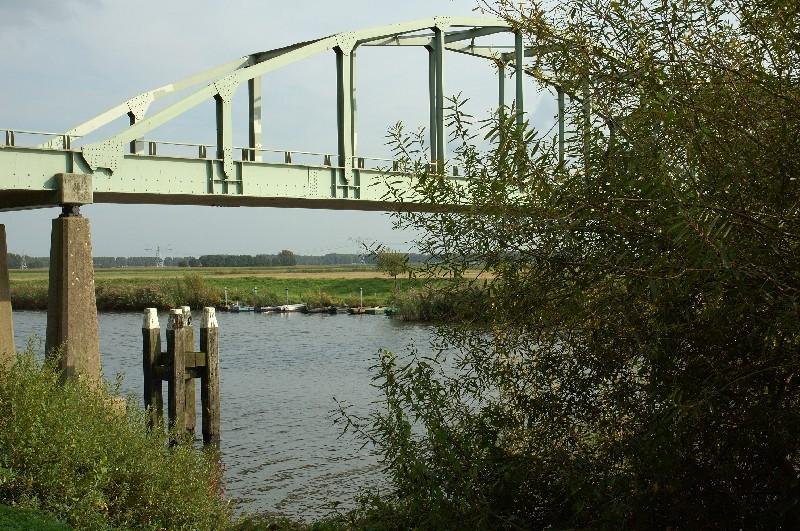
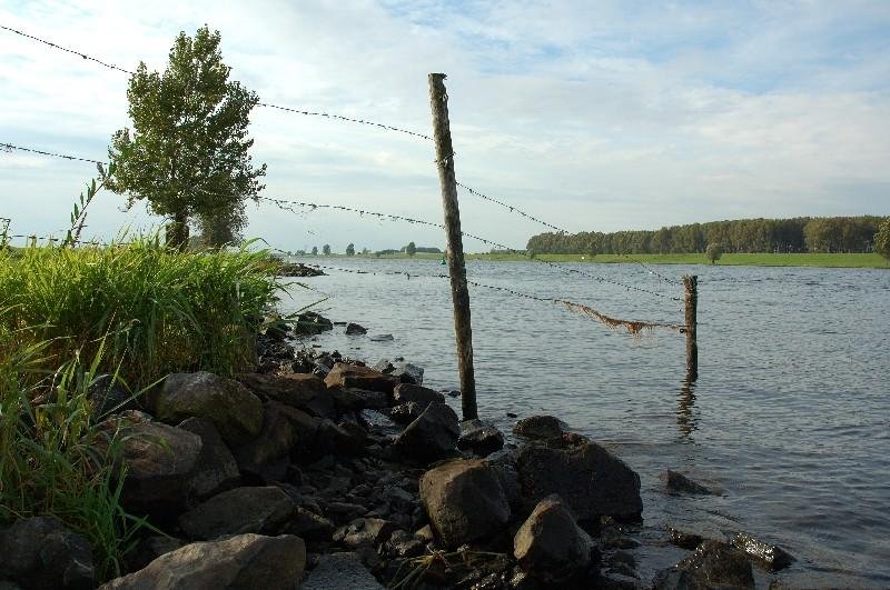
The Netherlands is a geographically low-lying country, with about 20% of its area and 21% of its population located below sea level, and 50% of its land lying less than one metre above sea level.
This distinct feature contributes to the country's name: in Dutch (Nederland), English, and in many other European languages, its name literally means "(The) Low Countries" or "Low Country". Most of the areas below sea level are man-made, caused by centuries of extensive and poorly controlled peat extraction, lowering the surface by several meters. Even in flooded areas peat extraction continued through turf dredging. From the late 16th century land reclamation started and large polder areas are now preserved through elaborate drainage systems with dikes, canals and pumping stations. Much of the Netherlands is formed by the estuary of three important European rivers, which together with their distributaries form the Rhine-Meuse-Scheldt delta. Most of the country is very flat, with the exception of foothills in the far southeast and several low hill ranges in the central parts.