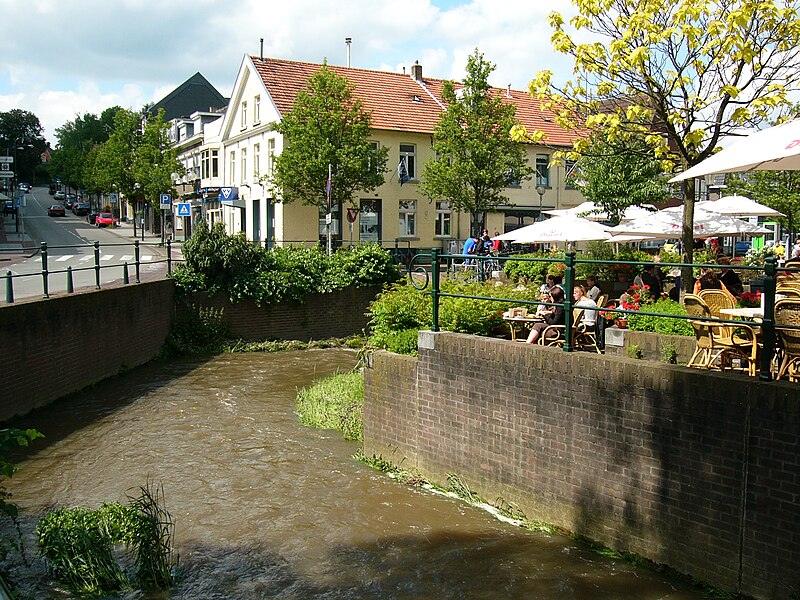
Gulpen-Wittem
- Details
- Category: Limburg - places to visit...
Gulpen-Wittem is a municipality in the southeastern Netherlands (in the province of Limburg) with 14.677 inhabitants as of 2008.

The municipality is very rural, with a lot of castles, half-timbered houses and old monumental farms. Yearly, Gulpen-Wittem attracts many tourists from the entire country because of its relatively sloping landscape, especially during the summer.
Population centres
Beertsenhoven, Berghem, Berghof, Beutenaken, Billinghuizen, Bissen, Bommerig, Broek, Cartils, Crapoel, Dal, De Hut, Diependal, Dijk, Elkenrade, Elzet, Epen, Eperheide, Etenaken, Euverem, Eys, Eyserheide, Gracht, Gulpen, Heijenrath, Helle, Hilleshagen, Höfke, Hurpesch, Ingber, Kapolder, Kleeberg, Kosberg, Kuttingen, Landsrade, Mechelen, Mingersberg, Nijswiller, Overeys, Overgeul, Partij, Pesaken, Piepert, Plaat, Reijmerstok, Schilberg, Schweiberg, Sinselbeek, Slenaken, Stokhem, Terlinden, Terpoorten, Terziet, Trintelen, Wahlwiller, Waterop, Wijlre, Wittem.
